Gallery


SOLD FOR $13,200 PER ACRE!
LAND LOCATION: NE1/4 of the NW1/4 and the SE1/4 of the NW1/4 of Section 3, Township 90N, Range 46W of the 5th P.M., Plymouth County, IA.
Per original government.
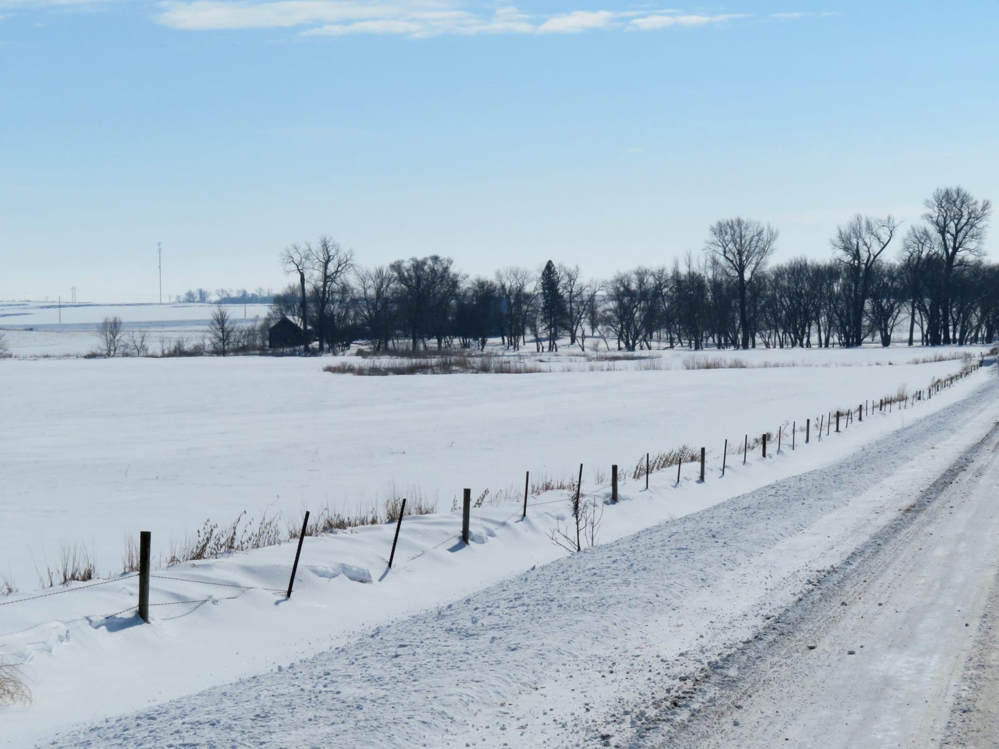
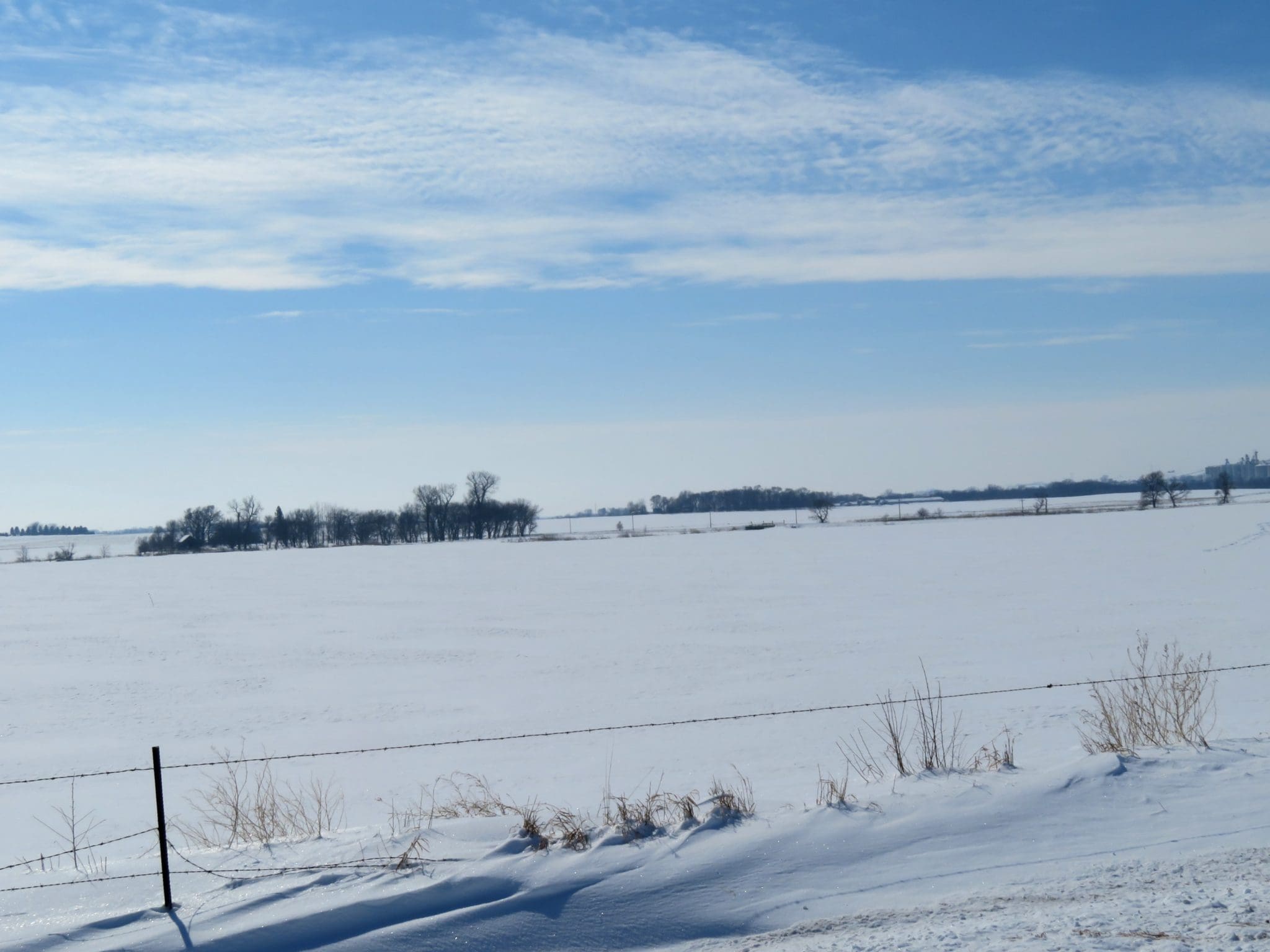
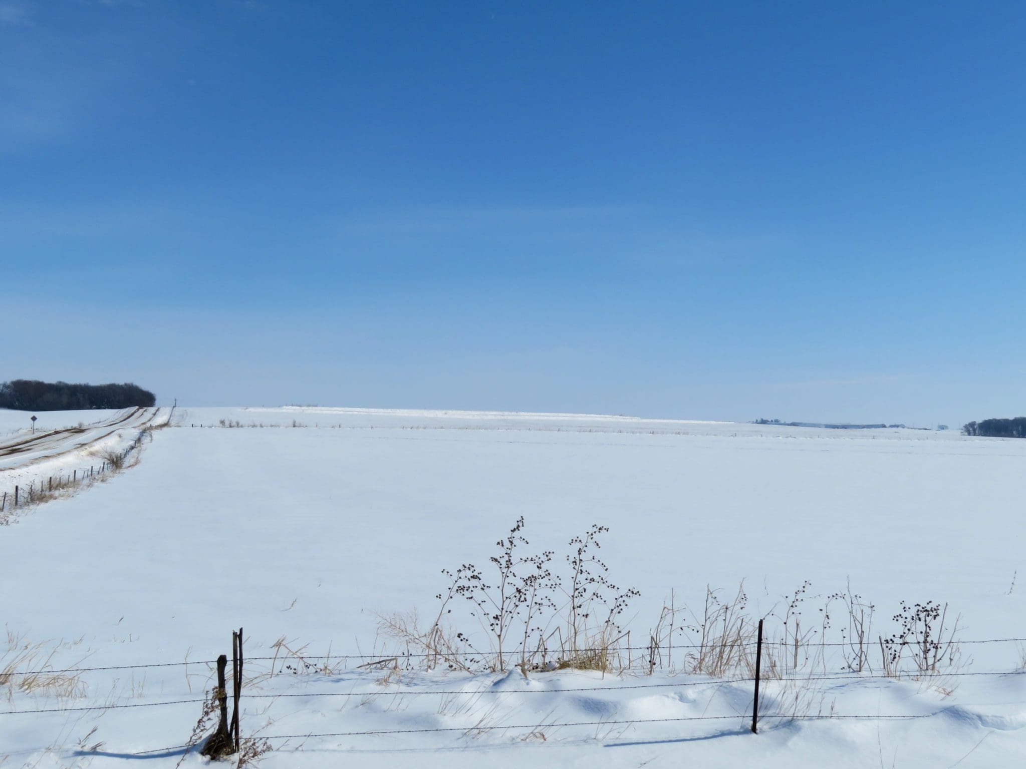
WOW!! WANT TO OWN SOME OF THE BEST?? Here is an offering of some of the highest indexing land anywhere, CSRII of 90. It is becoming more and more rare for 80 acre tracts to come on the market; even more rare is one that has the soils and ratings this farm has. Since time immemorial the most sought after land has been the best, and it has always proven to put the owners a cut above on yields and efficiency. This farm should prove to be no exception when it come to top performance.
The Plymouth County FSA shows 80.71 Cropland Acres with a 38.9 acre cornbase with a 167 bu. PLC Yield Index and a 38.9 acre soybean base with a 44 bu. PLC Yield Index. The NRCS and Assessors Office show the main soil types to be Galva and Kennebec and some Radford. Over 80% of this farm has a CSRII between 91 and 95 and over 50% of the farm has a CSRII of a whopping 95!! With numbers like that the sky could be the limit on what your yields and returns might be.
Today, in a world filled with uncertainty about things you can count on with your family’s future; won’t it be comforting to know that you have invested in and are able to pass along a truly Triple AAA rated asset. One you’ll be able to control all yourself. It is always cheapest to go first class and you certainly have an opportunity here to go First Class!!
Best of luck to you all!